We deploy a rubber-tracked drill rig and hand-operated auger sets for slope stability analysis across Chattanooga's varied terrain. The rig reaches 45-degree inclines along Signal Mountain or Lookout Mountain, while hand augers sample shallow colluvium on steeper residential lots. Each borehole is logged continuously, and we run in-situ moisture content tests immediately to capture the natural state before any drying occurs. Combining this field data with lab results gives us a reliable baseline for the slope stability analysis, which we then model using limit equilibrium software. The entire setup fits on a standard pickup truck, so we access tight urban lots near the Tennessee River without disturbing adjacent properties.
Shallow bedrock and perched water tables make Chattanooga slopes particularly sensitive to rain events; a 48-hour storm can double pore pressure at the failure plane.
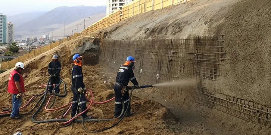
Technical details of the service in Chattanooga
Local geotechnical conditions in Chattanooga
Urban expansion in Chattanooga accelerated after the 1970s, pushing residential developments onto hillsides with 20 to 35 percent slopes. Many of these lots were carved from natural ravines filled with loose colluvium. Without proper slope stability analysis, seasonal rains and construction excavation can reactivate old slide planes. We have documented cases where a single retaining wall failure on a Southside slope led to progressive movement affecting three adjacent houses. The city's steep terrain combined with clay-rich residual soils demands site-specific evaluation rather than reliance on generic tables.
Our services
We provide two complementary services to address different stages of slope evaluation in Chattanooga.
Limit Equilibrium Modeling
We build 2D cross-sections from borehole logs and laboratory data, then run Bishop and Morgenstern-Price analyses to compute factors of safety. For critical slopes near infrastructure, we model both circular and non-circular failure surfaces.
Instrumented Slope Monitoring
For active landslides or construction sites, we install inclinometers, vibrating wire piezometers, and surface crack monitors. Data is logged hourly and reviewed weekly to detect movement trends before failures occur.
Common questions
How deep do you need to drill for a slope stability analysis in Chattanooga?
We typically drill to at least 5 feet below the deepest expected failure surface, which in Chattanooga's residual soils is often 15 to 25 feet. If bedrock is shallower, we terminate 3 feet into competent rock to confirm the failure plane does not pass through the rock mass.
What is the cost range for a slope stability analysis?
The cost for a standard slope stability analysis in Chattanooga ranges between US$1.220 and US$4.450, depending on the number of boreholes, laboratory tests required, and the complexity of the slope geometry. We provide a detailed scope before any work begins.
Do you analyze both static and seismic loading for slopes?
Yes, we evaluate both conditions. Static analysis uses long-term drained strength parameters, while seismic analysis applies a pseudo-static horizontal coefficient based on IBC site class. For high-risk slopes, we also recommend a Newmark sliding block deformation analysis.