Geotechnical investigation in Chattanooga forms the critical first step in any construction or civil engineering project, providing essential data about the subsurface conditions that will support foundations, retaining walls, roadways, and utilities. This investigative category encompasses a range of field and laboratory methods designed to characterize soil, rock, and groundwater behavior, ensuring that designs are both safe and economical. In a city defined by its dramatic topography, from the Tennessee River Valley to the slopes of Lookout and Signal Mountains, understanding what lies beneath the surface is not merely prudent—it is an absolute necessity to mitigate risks such as slope instability, sinkhole formation, and differential settlement.
Chattanooga's geology presents a complex and demanding environment for any investigation program. The area is underlain by Paleozoic sedimentary rocks, predominantly limestones and dolomites of the Knox Group, interbedded with shales and sandstones. These competent rock formations are often mantled by residual soils and colluvium, the product of intense chemical weathering characteristic of the humid Southeast. This weathering profile can be highly erratic, with depths to bedrock varying from zero at ridge-top outcrops to over 100 feet in filled valleys. The presence of karst features, including solution cavities and sinkholes, is a well-documented hazard across Hamilton County, demanding specialized investigative techniques to detect and delineate these potential collapse zones before construction begins.
Adherence to established standards is the backbone of any credible investigation. In the United States, the governing protocols are set by ASTM International, with key standards including ASTM D1586 for the Standard Penetration Test and ASTM D2487 for the classification of soils for engineering purposes. While Tennessee does not have a single, unique geotechnical design code, the Tennessee Department of Transportation (TDOT) provides rigorous specifications that are widely adopted for public and often private projects across the region. Local municipal building codes in Chattanooga enforce the International Building Code (IBC), which itself references ASCE 7 for seismic considerations—a non-trivial factor given the proximity to the East Tennessee Seismic Zone. A compliant investigation must seamlessly integrate these federal, state, and local mandates.
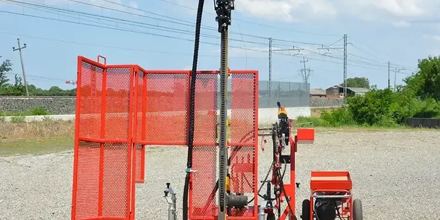
The scope of projects demanding a thorough subsurface investigation in Chattanooga is vast. From the redevelopment of historic downtown structures and the construction of new manufacturing plants at Enterprise South to critical infrastructure like slope stabilization along I-24, each project type dictates a tailored approach. A simple residential footing might require a basic boring program, while a high-rise or a bridge pier demands a more sophisticated campaign. The foundation of any such campaign is often the Standard Penetration Test (SPT), a fundamental in-situ procedure for sampling and assessing soil density. This data is then augmented by other methods such as cone penetration testing, rock coring, and geophysical surveys to build a complete three-dimensional model of the site. The ultimate goal is to transform geological uncertainty into manageable engineering parameters, enabling the safe and enduring development of Chattanooga's challenging terrain.
Available services
Common questions
What is the primary goal of a geotechnical investigation in a city like Chattanooga?
The primary goal is to characterize subsurface soil, rock, and groundwater conditions to inform safe and economical foundation design. Given Chattanooga's karst geology and steep slopes, the investigation specifically aims to identify hazards like sinkholes, variable bedrock depths, and landslide-prone colluvium that could jeopardize structural integrity or public safety.
How deep are typical geotechnical borings in the Chattanooga area?
Boring depths are project-specific but are heavily influenced by local geology. In areas with residual soils overlying limestone, borings must extend through the entire weathering profile and well into competent bedrock to rule out karst cavities. It is not uncommon for borings to reach depths of 50 to 100 feet or more, especially for major structures.
Which building code governs geotechnical investigations in Tennessee?
The International Building Code (IBC), as adopted and amended by the City of Chattanooga, governs structural design and explicitly requires geotechnical investigations. The IBC references national standards like ASCE 7 for seismic and load requirements, while the Tennessee Department of Transportation (TDOT) provides additional stringent specifications for all transportation-related and many public works projects.
How long does a typical subsurface investigation take to complete?
The duration depends entirely on the project's scale and complexity. A small residential investigation with a few test pits and borings might be completed in one to two days of fieldwork, with a report following within a week. A comprehensive investigation for a commercial development, involving multiple deep borings, rock coring, and laboratory analysis, can span several weeks from mobilization to final reporting.