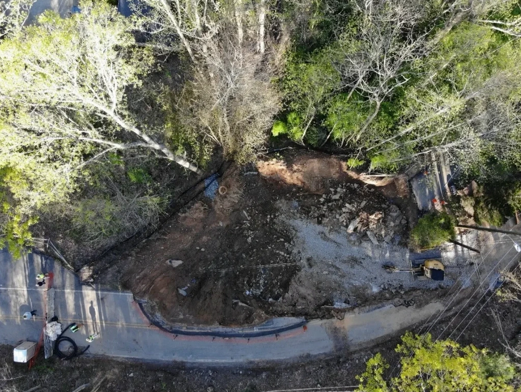
Chattanooga sits on the western edge of the Ridge-and-Valley province, where folded sedimentary rock and steep slopes create chronic instability. With over 180,000 residents and an average annual rainfall of 52 inches, the area sees recurring shallow landslides — especially after heavy spring storms. We perform landslide assessments to map slip surfaces, measure shear strength, and evaluate groundwater pressures. Before we recommend mitigation, we often run a MASW-Vs30 survey to profile stiffness contrasts in the near-surface layers. That data feeds directly into our limit-equilibrium models.
Thin clay seams in Chattanooga's limestone and shale become slip planes when saturated — our assessments identify them before they trigger failure.
Technical details of the service in Chattanooga
- Borehole logging and Shelby tube sampling at critical slope locations
- Direct shear and triaxial testing per ASTM D3080 and D4767
- Groundwater monitoring with standpipe piezometers over at least one wet season
Local geotechnical conditions in Chattanooga
The most common mistake we see in Chattanooga is relying on a single borehole to characterize an entire slope. A landslide rarely follows a uniform plane — it twists along bedding contacts and weathered zones. Without multiple exploration points and continuous groundwater data, the factor of safety can be overestimated by 30% or more. That leads to undersized drainage and underdesigned stabilization. We always flag this during our initial site walk. It is cheaper to drill three boreholes than to repair a failed slope after construction.
Our services
We tailor landslide assessment packages to the specific geology and slope geometry found in Chattanooga. Each service includes field exploration, laboratory testing, and a signed stability report.
Residential Slope Stability Study
Targeted for single-family lots on hillsides. Includes 2–3 hand auger or small rig borings, direct shear testing on key soil layers, and a limit-equilibrium analysis using Bishop's simplified method. Report includes factor of safety under static and seismic conditions.
Commercial Landslide Risk Evaluation
Designed for subdivisions, retaining walls, and cut slopes. Involves a minimum of 4 borings with SPT and undisturbed sampling, piezometer installation, and sensitivity analysis for different saturation scenarios. Deliverables include cross-sections and stabilization recommendations.
Common questions
How much does a landslide assessment cost in Chattanooga?
A standard residential landslide assessment in Chattanooga typically ranges between US$1.200 and US$3.700. The final cost depends on site access, number of borings, depth of investigation, and whether piezometers are required. We provide a detailed quote after the initial site visit.
What triggers landslides most often in Chattanooga?
The primary trigger is heavy rainfall — Chattanooga averages 52 inches per year, with intense spring storms. Water infiltrates through fractures and saturates clay seams in the bedrock. That reduces effective stress and can drop the factor of safety below 1.0 in hours. Human factors like improper grading and blocked drainage also contribute.
How long does a typical landslide assessment take?
For a straightforward residential site, field work takes 1–2 days, laboratory testing another 5–7 days, and analysis and reporting about 3 days. Total turnaround is usually 10–14 business days. Commercial projects with deeper borings or multiple piezometers may take 3–4 weeks. We always coordinate with your construction schedule.